Historic Columbia River Hwy 5th May 2022
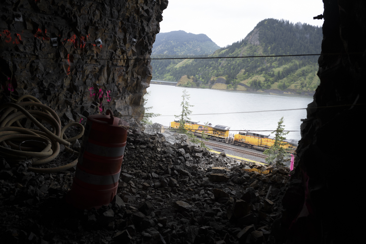
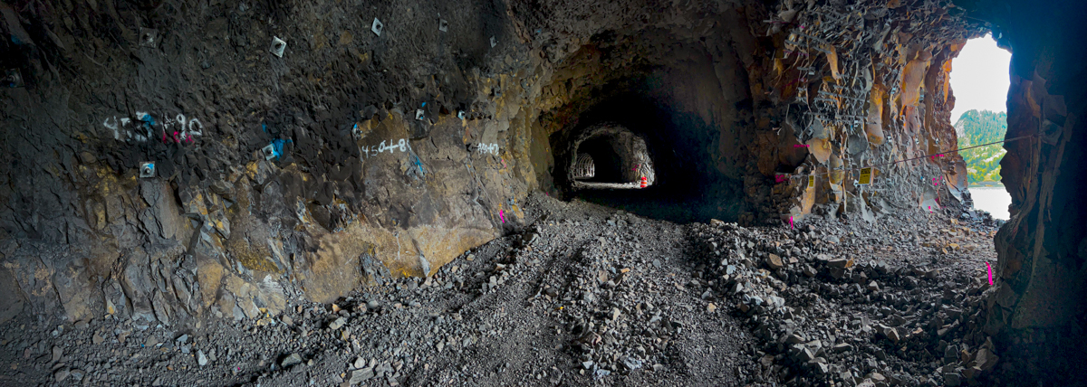
The east and west tunnel diggers have shaken hands and given birth to the continuous length of the Mitchell Tunnel. What one instantly realizes is the light that comes in and creates the reminiscent older Mitchell Point tunnel. The curve of the ceilings and tunnels itself are taking shape before our eyes. Each adit is now showing its own personality with the Northerly view of the Columbia and Washington shore/mountain outlines.
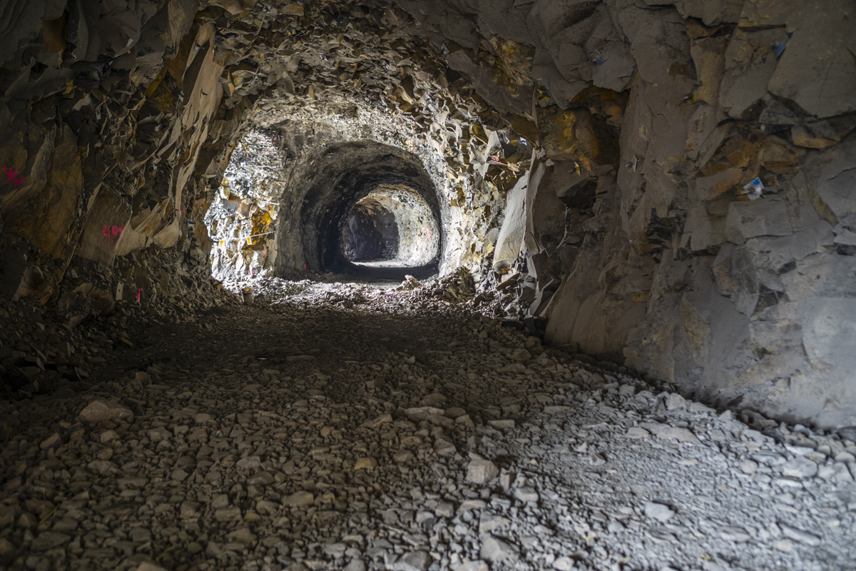
Above: Looking East
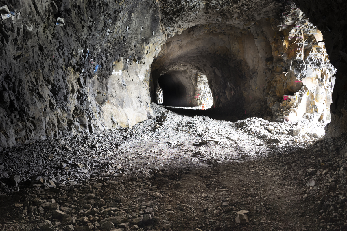
Above :Looking West
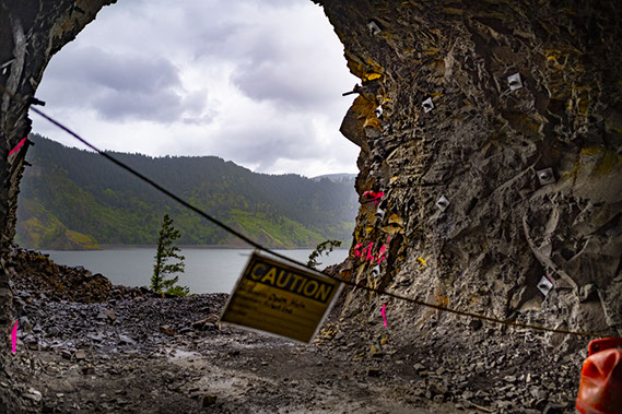
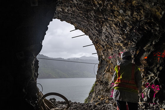
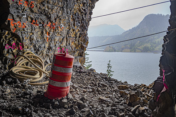
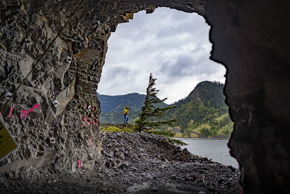
Above; Adits views
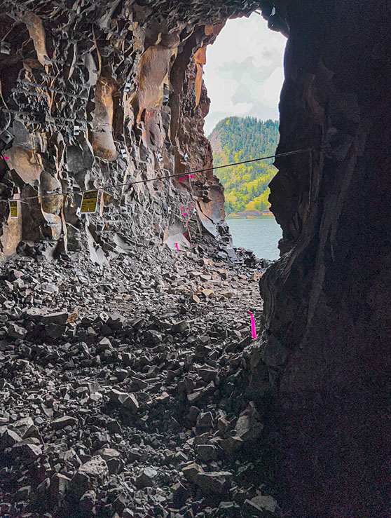
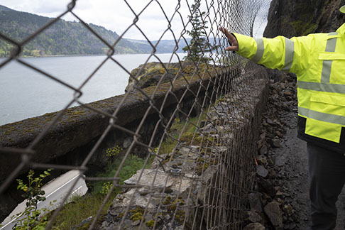
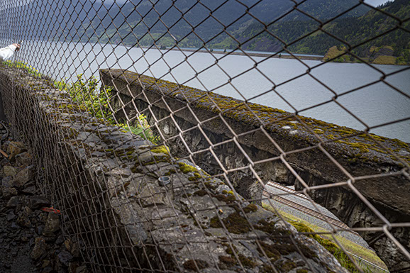
Above & Below: More northern wall is the original (?1918+) Historic Columbia River Highway wall with its semicircular opening revealing the UP tracks.
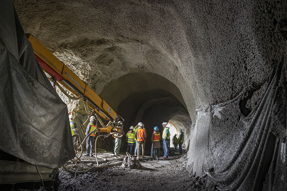
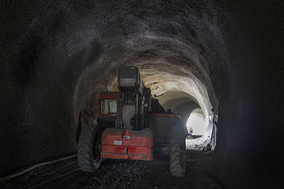
Robotic Arm of the Shotcrete spray. Sculptural ceilings modulate the light, even on a cloudy rainy day.
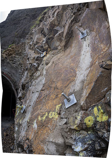
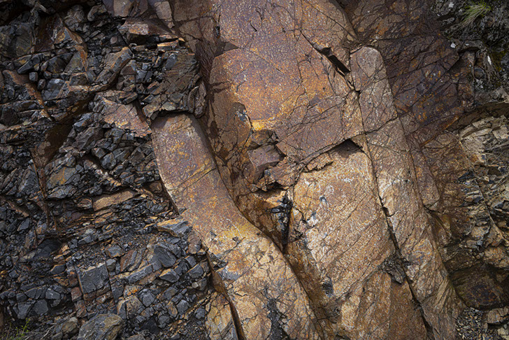
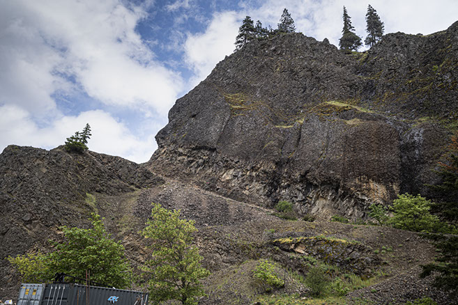
The Mitchell Point is a patchwork of different lava flows and riverbeds over the past 15 million years since the Missoula Floods. The discontinuities of flows, variety of heat creating pyroclastic flows is ever present in our view.
On the right is the seam of very hard rock sandwiched in between
Below: Austin Armstrong,
Project Engineer in front of the River side Western Adit.


Images by A J Zelada

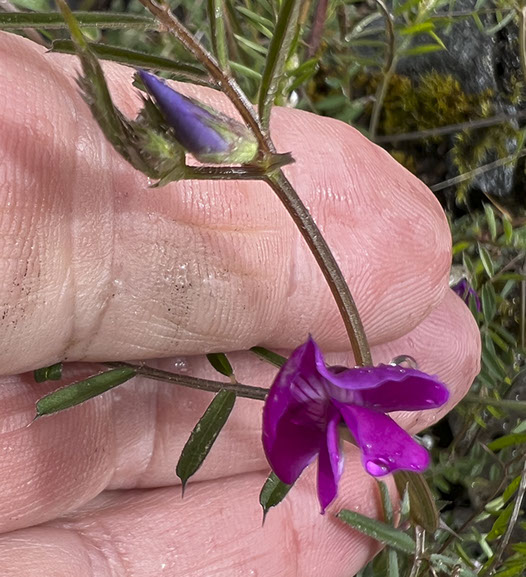
Hugging the outside walls of
Mitchell Point Tunnels are hearty flowers.
72km.org
Travel
Our trips traveling by bicycle. Our trips in Central America, Europe and Across the USA.
Always following the Rule:
A mile at the beginning of the day is not as long as the mile
at the end of the day.
Voices & Words
Articles published, articles written, histories of the families, and of course food seen and enjoyed
To The Top
